Everything you need to know about K2, and everything you need to plan a trek to its base camp — with the option to cross Gondogoro La, the Karakoram’s most dramatic high pass, on the way back.
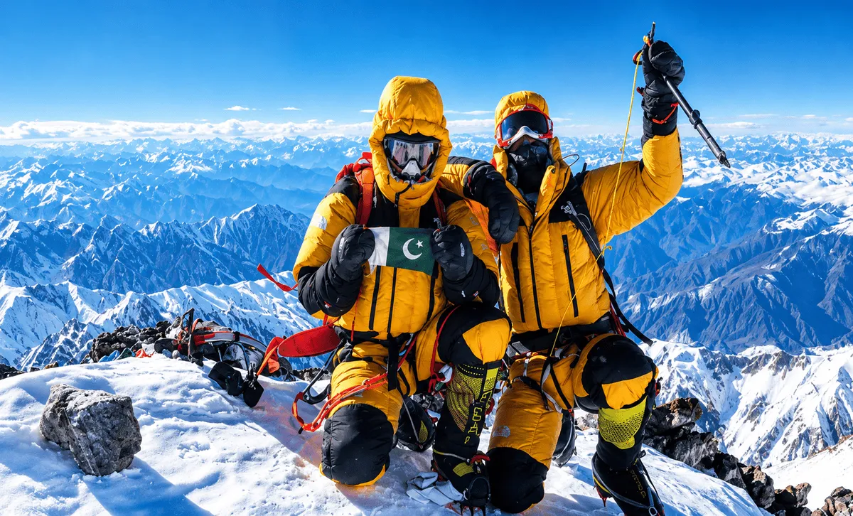
The K2 Base Camp trek is an 18- to 24-day expedition-style journey through Pakistan’s Karakoram Range to the foot of K2 — also known as Mount Godwin-Austen, Chhogori — the second-highest mountain on Earth after Mount Everest, at 8,611 m. Many trekkers extend the trip with a crossing of Gondogoro La, a technical high pass at roughly 5,585 m that turns the route into a loop instead of an out-and-back.
K2 straddles the border of Gilgit-Baltistan, Pakistan and Xinjiang, China, in the Karakoram Range, and it is known informally as the savage mountain for its high fatality-to-summit ratio among climbers — a reputation that belongs to the mountain itself, not to the base camp trek most visitors actually take, which involves no climbing.
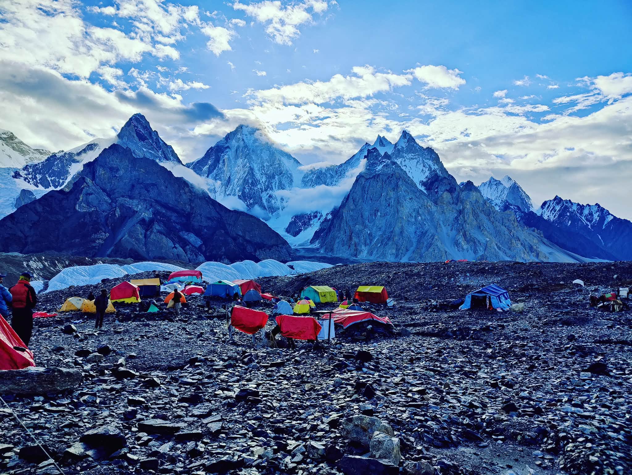
The trek follows the 60+ km Baltoro Glacier route from Askole, passing beneath some of the highest peaks on Earth before reaching Concordia and, finally, base camp itself. It is fully camping-based — there are no teahouses beyond Askole, so a guide, cook, and porter or pack-animal support are required throughout.
K2 at a Glance
Official name
K2 (Mount Godwin-Austen, Chhogori)
Rank
2nd highest mountain on Earth (after Mount Everest)
Summit height
8,611 m (28,251 ft)
Mountain range
Karakoram Range
Location
The border of Gilgit-Baltistan, Pakistan and Xinjiang, China
K2 Base Camp elevation
5,150 m (16,900 ft)
Gondogoro La elevation
5,585 m (18,323 ft)
Protected area
Central Karakoram National Park (CKNP)
Trek duration
18–24 days (Islamabad to Islamabad)
Best season
Late June to early September
Accommodation
Camping only — no teahouses or lodges beyond Askole
What Makes This Trek Different
Not just ‘a base camp trek’ — here’s what actually sets the K2 route apart.
Concordia’s panorama
A single glacial junction with a direct concentration of very high peaks in view — K2, Broad Peak, and the Gasherbrums — an almost unrivalled vista reachable on foot.
Genuinely remote
Far fewer trekkers per season than Everest Base Camp, with no teahouses, shops, or roads beyond Askole — this is expedition-style trekking, not a developed trail.
An optional technical edge
Gondogoro La gives experienced trekkers a fixed-rope high pass crossing and a loop back — instead of an out-and-back — through the Hushe valley.
Fully expedition-style
Every night is camped, self-sufficient logistics, a cook and porter team, and pack-animal support — the same pattern real K2 climbing expeditions use.
Plan Your Trek
Start with the route that matches your goals — the standard trek, the technical crossing, or the combined expedition.
K2 Base Camp Trek
The classic trek to K2 Base Camp: how long it takes, difficulty, best season, and cost.
See itinerary, cost & difficulty →
Gondogoro La Trek
The option to cross Gondogoro La — the technical high pass above K2 Base Camp.
See the technical crossing guide →
K2 Base Camp & Gondogoro La Trek: The Complete Combined Guide
How the two treks fit together as a single loop expedition, and how to decide.
See the full loop breakdown →
The Route, Stage by Stage
1
Islamabad
Arrival & briefing
2
Skardu
2,228 m · Gateway
3
Askole
3,040 m · Roadhead
4
Baltoro Glacier
Ice highway
5
Concordia
4,600 m
6
K2 Base Camp
5,150 m
7
Return or Gondogoro La
5,585 m loop option
K2 Base Camp Only vs.
Adding Gondogoro La
The core decision most trekkers face. See the full combined trek guide for the complete breakdown.
ASPECT
K2 BASE CAMP ONLY (RETURN VIA BALTORO)
+ GONDOGORO LA CROSSING
Route type
Out-and-back
Loop
Highest point
5,150 m
5,585 m
Technical skills needed
None
Fixed ropes, crampons, roping-up
Best suited to
First-time high-altitude trekkers
Experienced trekkers seeking a bigger challenge
Understand the Region
The geography, geology, weather, and terrain define every K2 expedition — useful reading whether or not you use a licensed tour operator.
K2 Base Camp
The iconic first elevation, coordinates, geography, and what it actually means.
The Karakoram Range and K2’s Gateway Towns
An overview of the Karakoram Range and the gateway towns and valleys that define the route to K2.
Preparing for the K2 Base Camp Trek
Permits, fitness training, and acclimatization — everything to get right before you fly.